
Garmin GPSMAP 9227 27" Non-Sonar Marine Chartplotter with Garmin Navionics+
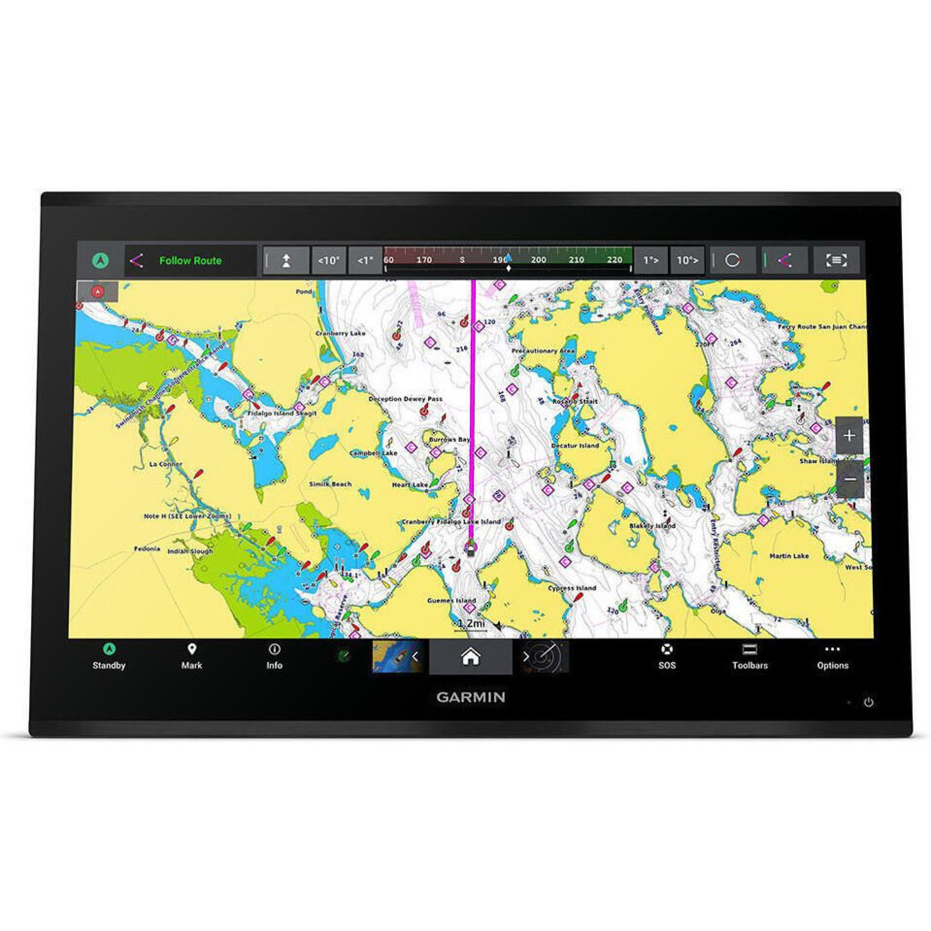
Garmin GPSMAP 9227 27" Non-Sonar Marine Chartplotter with Garmin Navionics+
| Brand: | Garmin |
| Product Code: | INT/MDL/029 |
| Availability: | In Stock |
-
$11,007.36
The Garmin GPSMAP 9227 is a premium 27-inch marine chartplotter designed for high-end glass helm installations. It features a large 4K IPS sunlight-readable touchscreen with a 3840 × 2160 resolution, providing exceptional detail for navigation, system monitoring, and connected marine applications.
Features:
- Edge-to-edge design provides a seamless and luxurious modern look
- Processing power is 7x faster than previous generations for superior performance; draw charts quickly, and calculate Auto Guidance+™ routes with lightning speed
- Build extensive networks with multiple chartplotters, cameras, radars and sonars - and enjoy 10x faster networking speeds with minimal lag
- Enjoy audio and video integrations that allow you to show and hear the same video throughout the screens and speakers on your network
- Fish in stunning high definition. Hook up to any of our sonar modules, and view sonar targets on the 4K display (transducers sold separately)
- Take command through digital system integrations to monitor, automate and control your vessel
- Uses the NMEA 2000® and NMEA 0183 networks to connect to your compatible accessories
- Garmin Navionics+™ included - provides offshore, coastal and inland water charts for the U.S. and coastal water charts for Canada
Specifications:
- Dimensions: 25.8" x 16.7" x 3.3" (65.5 x 42.3 x 8.5 cm)
- Weight: 27.65 lbs (12.54 kg)
- Waterproof: IPX7
- Display type: 4K, IPS
- Display size: 23.5" x 13.2" x 27.0" diagonal (59.7 x 33.6 x 68.5 cm diagonal)
- Display resolution: 3840 x 2160 pixels
- Mounting options: Flush or flat
- Input: Touchscreen
- Accepts data cards: 2 SD Cards
- Waypoints: 5000
- Track points: 50,000
- Tracks: 50 saved tracks
- Navigation routes: 100
- Power input: 10 to 35V DC
- Typical current draw @ 12V DC: 7.2A
- Maximum current draw @ 12V DC: 8.1A
- Maximum power usage @ 10V DC: 97W
- NMEA 2000® ports: 1
- NMEA 0183 input ports : 4
- NMEA 0183 output ports: 2
- Video input ports: 1 (BNC composite); 2 HDMI (HDCP compliant)
- Video output ports: 1 HDMI
- J1939 ports: 1
- Garmin BlueNet network ports: 4
- USB ports: 2x USB-C
Included:
- GPSMAP 9227 chartplotter
- Trim snap cover
- Protective cover
- Flush mount hardware
- Power cable
- GPS 24xd NMEA 2000® (with pole mount, flush mount and under deck mount adapters)
- NMEA 2000 backbone/drop cable (2 m)
- NMEA 2000 power cable
- NMEA 2000 T-connector and terminator kit
- Documentation